
Hunza is the long valley of the Hunza River, running from the Gilgit end of the Karakoram Highway up to the Khunjerab Pass, and is usually thought of in three parts: Lower Hunza, Central Hunza and Upper Hunza, known as Gojal.
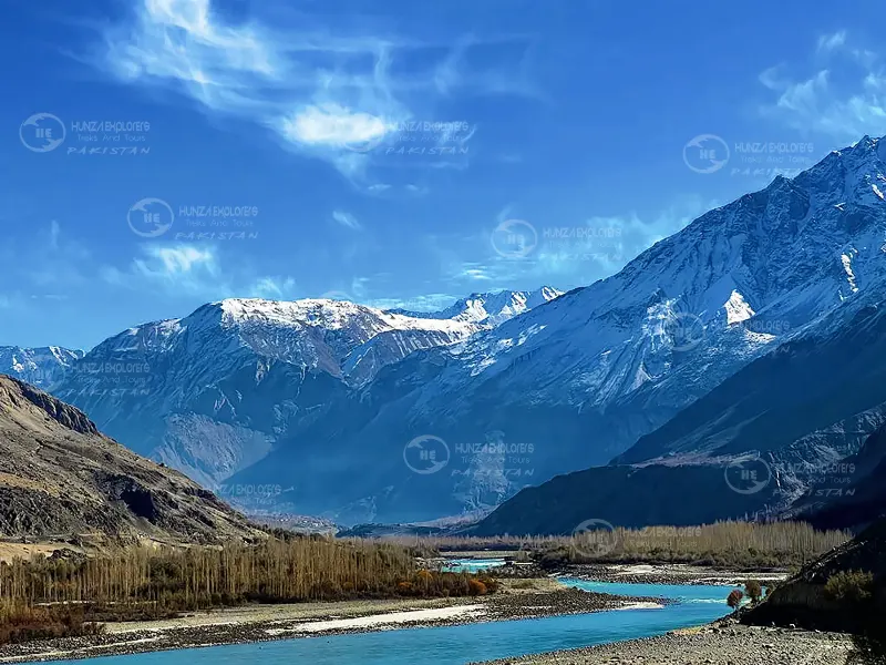
Hunza is one long valley, about 200 kilometres from end to end, cut by the Hunza River and followed by the Karakoram Highway. Most people think of it as a single place, and it is, but the three parts are quite different, and a good trip usually uses all of them. From south to north they are Lower Hunza, Central Hunza and Upper Hunza.
One valley, three parts
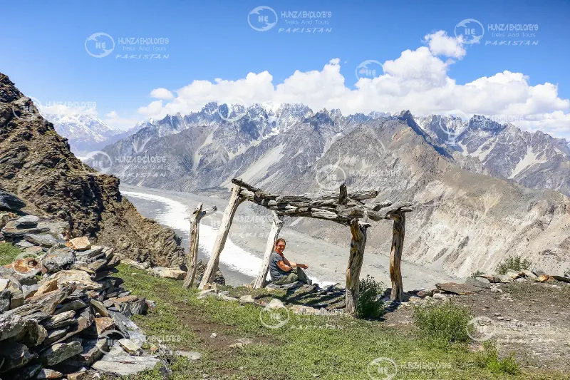
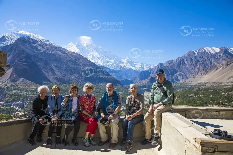
Lower Hunza is the stretch nearest Gilgit. The road follows the river through a dry gorge under the wall of Rakaposhi, and the villages face Nagar across the water. Central Hunza is the heart of the valley and the part most people picture: Karimabad, Aliabad, Altit and Ganish, with the two old forts, Baltit and Altit, and the view of Rakaposhi, Ultar Sar and Lady Finger. Upper Hunza, called Gojal, is the high end of the valley, with the Wakhi villages, the Passu Cones, glaciers, Attabad Lake and the road to the Khunjerab Pass and China.
Travelling the valley
Hunza is reached by road from Gilgit and is easiest to see from south to north. Two or three nights in Central Hunza and one or two in Gojal is the usual rhythm, and most travellers stay longer than planned. The food is simple and good: walnut cake, apricot oil, chapshuro (a meat-filled flatbread) and fresh trout. Evenings are cool even in summer, so pack a jacket.
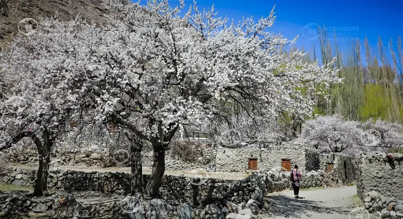
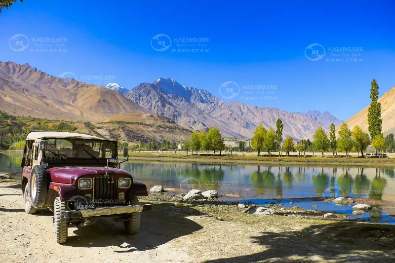
In late April the apricot and cherry trees flower all at once, and in October the poplars and orchards turn gold, which is the busiest time of year. Each part of the valley has its own page below, with what to see and how to get there.
Highlights
- Lower Hunza, under the wall of Rakaposhi
- Central Hunza, with Karimabad, Baltit and Altit forts
- Upper Hunza (Gojal): Passu, glaciers and the road to China
- Apricot blossom in spring and gold leaves in autumn